News
Environment
Surface Water
Water Issues
Canada receives C on flood risk preparedness in U of Waterloo report
August 19, 2020 By Ground Water Canada
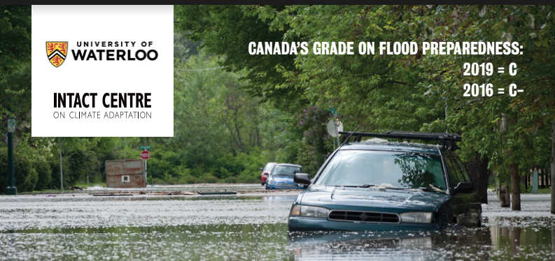
Canada has received an average grade of C in the latest report card on flood risk preparedness, an improvement on the C- it received in 2016. Areas identified for improvement include land use planning and critical infrastructure assessments such as structural flood protection infrastructure, dam safety and abandoned contaminated sites.
The study was carried out by the University of Waterloo Intact Centre for Climate Change. “Climate Change and the Preparedness of Canadian Provinces and Territories to Limit Flood Risk” suggest there has been no significant progress in flood preparedness of Canadian provinces and territories from 2016 to 2019. Most provinces and territories are moving slowly to address flood risk, and Yukon, British Columbia and Prince Edward Island were seen to have substantially improved their performance.
There were material improvements in the flood preparedness scores of some Canadian jurisdictions, notably Yukon, British Columbia and Prince Edward Island.
The main types of flooding to which Canada is exposed are fluvial, pluvial, coastal, ice jam, and ground water flooding, as well as flooding due to the failure of artificial water retention infrastructure, the report said.
Areas of strength in the flood preparedness of the provinces and territories included emergency management (and more specifically emergency preparedness and response), waterway management, sustainable flood management, public health and safety (particularly health-care systems), emergency response operations, flood forecasting and emergency warning systems.
Areas of weakness in flood preparedness included land use planning, new development projects and critical infrastructure assessments (particularly structural flood protection infrastructure, dam safety and abandoned contaminated sites).
Many respondents to the latest survey said they wanted to see user-friendly and publicly accessible up-to-date flood risk maps, which provide crucial information regarding the location and distribution of vulnerable populations, threats to critical infrastructure, and safe evacuation routes during times of flood inundation.
Study respondents also reported the need for significant improvements regarding the communication and dissemination of critical information before, during and following flood events. This direction included pre-flood actions by homeowners to limit flood risk, during-flood safety and flood mitigation efforts at the community level, and post-flood protocols to restore community and business normalcy. In remote and/or unincorporated communities and in northern Canada, respondents emphasized that the timely dissemination of emergency information often proved especially difficult during flood events.
Nearly all Canadian provinces and territories reported a near complete failure to address infrastructure interdependencies. Study respondents said they typically address infrastructure interdependencies following disasters (for example, such as following Northeast North American blackout of 2003).
A pervasive theme conveyed by nearly all 139 survey respondents was complacency by provinces and territories about the timely mobilization of flood risk mitigation policies and procedures.
Print this page