Features
Mapping
Research
SkyTEM reaches mapping milestone
September 11, 2019 By Ground Water Canada

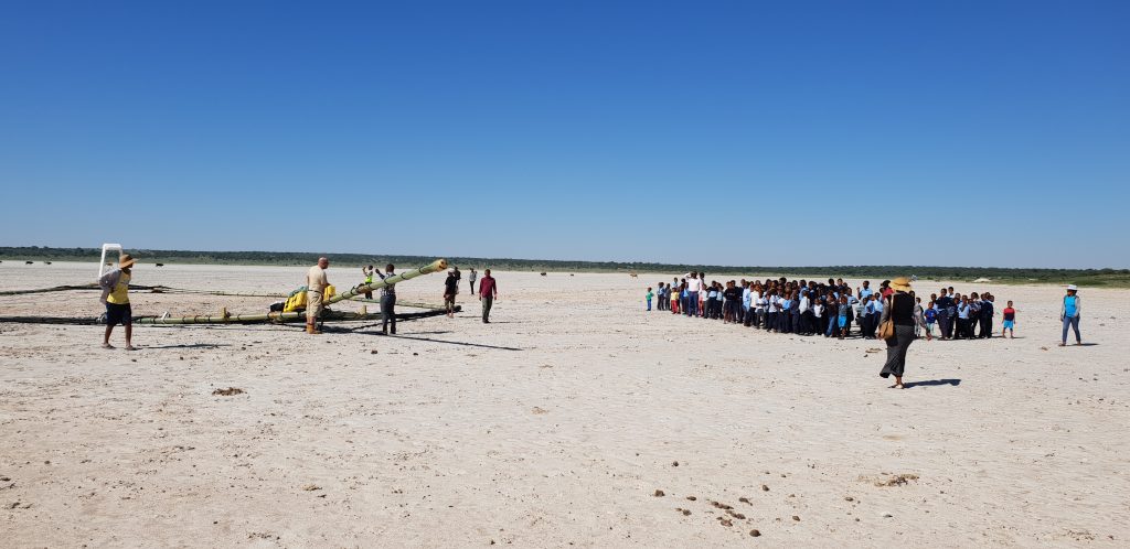
SkyTEM has mapped 1,000,000 kilometres of the Earth – equivalent to almost 25 trips around the world – and collected and delivered more than one million kilometres of airborne electromagnetic data.
The mapping was done with helicopters on all seven continents, safely and without incident or accident, said a news release from SkyTEM, which provides airborne geophysical survey services to government agencies, resource exploration companies and environmental and geotechnical engineering companies.
In 2004 SkyTEM launched its airborne geophysical technology specifically engineered to map ground water and deliver highly accurate images of the Earth from the very near surface to great depths.
In 2015 Geoscience BC employed SkyTEM to map the distribution of shallow ground water systems over an 8,300-square-kilometre area of the Peace River, B.C. A webinar on the results of this work can be seen here.


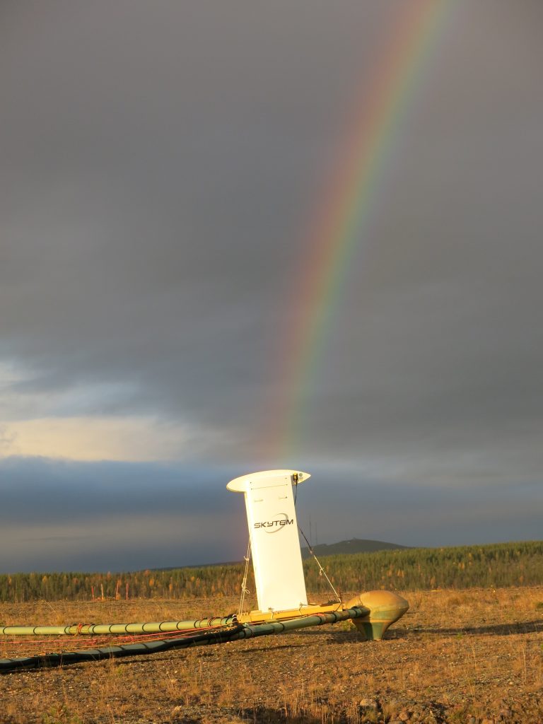
SkyTEM’s technology is available in a choice of systems suited for a wide variety of exploration objectives.
“Thank you for relying on SkyTEM to satisfy your mapping requirements and we look forward to serving you in the months and years to come,” said Dr. Flemming Effersø, chief executive officer, SkyTEM Surveys ApS, in the release.
Print this page